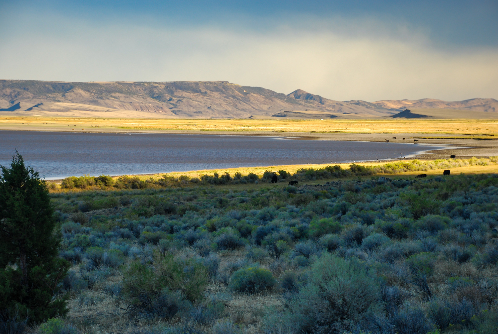
Gearhart Mountain is only the beginning of the geological story. Beyond Bly, the country opens into long rims, broad lake basins, dry playas, wetlands, and volcanic tablelands that seem to run all the way to the horizon.
Winter Rim rises above the Summer Lake basin. Abert Rim stands like a wall over Lake Abert. Farther southeast, Hart Mountain climbs sharply above Warner Valley, where Crump Lake sits among the shallow lakes and marshes left behind by ancient Lake Warner.
These places belong to different chapters of Lake County's history. Put on one timeline, they show how volcanism, faulting, erosion, ice, and changing climate shaped the country east of Gearhart.
Built by fire
Gearhart Mountain
A late-Cenozoic volcanic highland later cut apart by water, weather, freeze-thaw cycles, and glacial ice.
Raised by faults
The great rims
Winter Rim, Abert Rim, and Hart Mountain rise above basins created as the crust stretched, broke, and tilted.
Filled by water
The ancient lakes
Lake Chewaucan and Lake Warner spread across separate basins during cooler, wetter periods of the Ice Age.
Start at Gearhart
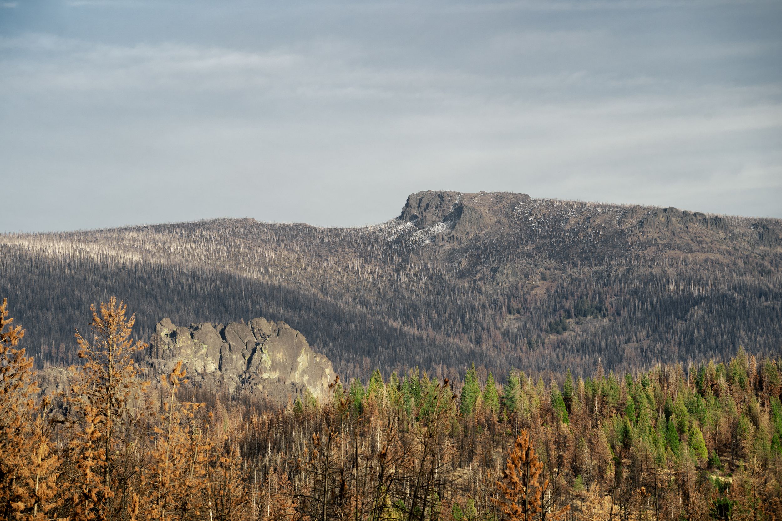
Gearhart Mountain began as part of a much broader volcanic edifice. Geological mapping describes basaltic and andesitic lava flows and volcanic deposits spread across the high country. What remains today is the framework of an extinct volcano, worn down over millions of years.
Once its eruptions ended, erosion took over. Water cut drainageways. Repeated freezing and thawing opened fractures. During the Pleistocene, ice occupied the high country and helped carve cirques, steep ridges, valleys, and exposed rock faces. Palisade Rocks and the rugged summit country are pieces left behind after a much larger mass was worn away.
By the time the great Ice Age lakes spread across the lower country to the east, Gearhart was already old. Glacial ice was working on a volcano that had been quiet for millions of years.
The country opens to the east
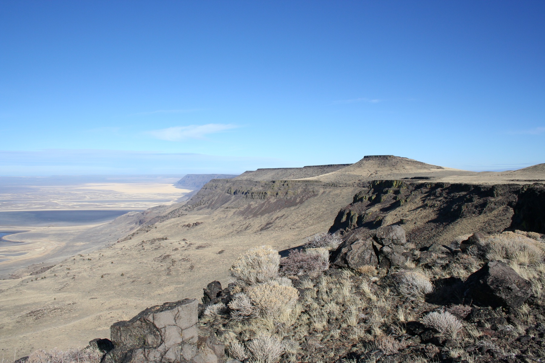
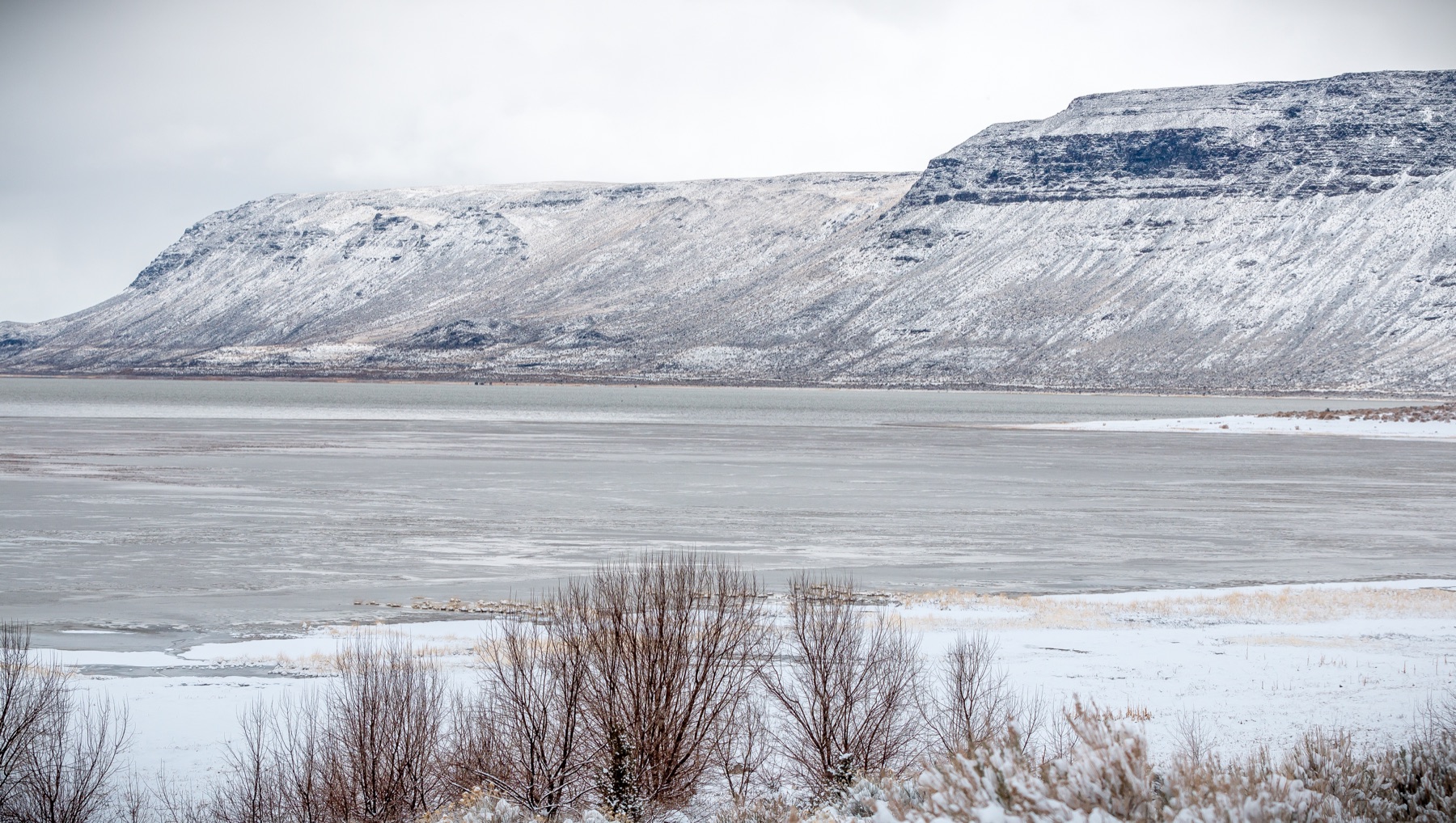
Winter Rim, also called Winter Ridge, forms the great western wall of the Summer Lake basin. Across the wider region, Abert Rim rises more than 2,500 feet above Lake Abert. Its upper cliffs are built from basalt flows about 16.7 million years old. The steep face and the flat basin below are a classic piece of Basin and Range country, formed as the crust stretched and large blocks tilted along faults.
The same broad pattern continues farther southeast. Hart Mountain rises above Warner Valley, another long fault-built basin. Crump Lake lies near its southern end, connected in wet years to a chain of lakes, marshes, meadows, and sloughs extending north through the valley.
Each rim and basin has its own history. Seen together, they give Lake County its unmistakable shape: high walls of volcanic rock overlooking enormous open floors.
When water covered the basin floors
During the Pleistocene, cooler and wetter conditions filled many of southeastern Oregon's closed basins. Lake Chewaucan spread across the country now occupied by Summer Lake, the Chewaucan Marshes, and Lake Abert. Farther southeast, a separate Lake Warner filled much of Warner Valley.
Lake Warner occupied the valley floor between about 30,000 and 10,300 years ago and probably reached its greatest late-Ice-Age extent around 17,000 to 16,100 years ago. At high water, it covered close to 500 square miles. Crump Lake is one of the shallow remnants on that old lake floor.
People reached Lake Warner's shores before about 12,800 years ago. As the water receded, communities followed its changing edge and used the fish, birds, roots, seeds, and other resources of the wetlands. When Mount Mazama ash fell about 7,600 years ago, the once-great lake had already separated into smaller lakes, ponds, marshes, and sloughs.
Shells, warm climates, and other traces
The old basin surfaces hold many kinds of clues. Lake Warner sediments contain freshwater bivalve and snail shells, including small clam-like Pisidium. Around Lake Abert, the pale material scattered along parts of the shore can include the carapaces of brine shrimp. Shell tools and ornaments found by archaeologists tell another story, showing connections between Indigenous communities across a much wider region.
Oregon also preserves fossils from climates far warmer than today's. At the Clarno Nut Beds, about 44 million years ago, palms and banana relatives grew in a hot, wet forest. Fossil leaves occur in older rocks elsewhere in Lake County as well. Those warm-climate fossils belong to a much earlier Oregon, while the great lakes below the rims belong to the Ice Age.
That is part of what makes this country so interesting. A shell, a leaf impression, an abandoned shoreline, and a wall of basalt may all appear in the same broad landscape while carrying stories separated by millions of years.
Two landscapes on one timeline
From ancient warm forests to volcanic mountains, fault scarps, and Ice Age lakes, the landscape developed in layers.
-
About 50–44 million years ago
Warm ancient Oregon: parts of the state support hot, wet forests with palms and other semitropical plants. Neither modern Gearhart Mountain nor Crump Lake exists yet.
-
About 17–16 million years ago
Great basalt flows spread across the region: lava that now caps Abert Rim and other parts of southeastern Oregon settles across an older landscape.
-
Late Miocene–Pliocene
Gearhart is built: repeated eruptions construct a broad volcanic highland of basaltic and andesitic rock.
-
Millions of years of erosion
Mountains and basins take shape: weather and running water wear down Gearhart while faulting raises Winter Rim, Abert Rim, Hart Mountain, and other great scarps above sinking basins.
-
Pleistocene Ice Age
Ice and water reshape the region: glaciers carve Gearhart's high country while Lake Chewaucan, Lake Warner, and other large lakes repeatedly fill the lower basins.
-
About 30,000–10,300 years ago
Lake Warner fills the valley: the large pluvial lake occupies much of Warner Valley, reaching its greatest late-Ice-Age extent around 17,000–16,100 years ago.
-
Before about 12,800 years ago
People live beside the changing lake: early communities camp along its shores and adjust as the water retreats.
-
About 7,600 years ago
Mount Mazama erupts: ash falls across southern Oregon. Lake Warner has already broken into smaller lakes, ponds, marshes, and sloughs.
-
Today
Two remnants remain: Gearhart is the eroded skeleton of an ancient volcano; Crump Lake is one shallow part of the far larger Ice Age lake system.
One county, several geological worlds
Gearhart Mountain, Abert Rim, Winter Rim, Hart Mountain, and Crump Lake each preserve a different piece of Lake County's geological history. A drive across the county passes through landscapes formed at very different times and in very different ways.
Fire built the volcanic foundation. Faults lifted rims and lowered basins. Ice carved the high country. Cooler climate filled the low country with water. As conditions grew warmer and drier, the great lakes receded and left the shallow lakes, salt flats, marshes, and old shorelines visible today.
Gearhart gives a close view of one ancient volcano. Farther east, the story continues across the great rims and the lake beds below them. It is all part of the same county, with a great deal of geological history packed into the distance between one place and the next.
Sources and further reading
- Gearhart Mountain | Bly, Oregon Historic Archives
- U.S. Geological Survey: Gearhart Mountain Wilderness geologic map and report
- Oregon Department of Geology and Mineral Industries: 1959 geology of the Crump Geyser and Warner Valley area
- Wriston and Smith: Late Pleistocene to Holocene history of Lake Warner and its prehistoric occupations
- U.S. Geological Survey Professional Paper 502-B: Closed-basin lakes of Oregon
- The Oregon Encyclopedia: Warner Valley
- The Oregon Encyclopedia: Abert Rim
- The Oregon Encyclopedia: Pleistocene Pluvial Lakes
- National Park Service: Clarno Nut Beds
- Bureau of Land Management: Warner Wetlands
- Crump Lake photograph: Gary Halvorson, Oregon State Archives (CC BY 4.0)